
(posted 20.06.2024)
Travel back in time to hear of the Lord of the Manor and the King of the Castle

This route is designed for leisure cyclists. It’s not aimed at Club or racing standard riders. Lycra is optional. There are about 500 metres of unpaved road (stoney track) but it is passable with care at walking speed. If you are unsure about riding, it’s only a few minutes on foot. We start and finish at Kiplin Hall, and unless you live locally, I anticipate that you will arrive by car. Parking is free on the condition that you use the Hall’s cafe. I would encourage you to enjoy a cafetiere of coffee before setting off on this ride.
From the Hall, leave by the main gate and turn right onto the B6271 in the direction of Northallerton (not signposted). In 200m take a single-track road to the left, signed for Whitwell. Take care on the rough surface. The trade off on this road is that you’ll rarely see any motor traffic, but watch out anyway, particularly on some blind bends.

After about 1km arrive at a staggered crossroad, with a well-worn four-armed signpost in the bushes to your left. Here take the right hand turn for Danby Wiske. After about 4km, arrive at the hamlet of Streetlam. Go straight ahead at this junction, still signed for Danby Wiske. The road curves left, then take the next turn off to the right, still signed Danby Wiske. Generally speaking, they are no big hills to contend with around this route, but on this next stretch to Danby Wiske you first lose about 10 metres in height, and then need to climb again into the village. Descend again quite steeply as you approach the village green, but don’t go too fast as we need to turn off right here. Watch for the signpost on your right just before the village green and turn right, in direction of Yafforth. If you need a snack, having now completed 8km (5 miles) you’ll find a small walkers and cyclists cafe here at the last house on the left as you leave the village. Note also the church, partly dating back to Norman times, and Grade I listed. The church is unusual in that it is not dedicated. It’s not (for example) St. Mary’s or St. John’s. It’s simply Danby Wiske church.

More importantly, for visitors to Kiplin Hall, it’s worth noting that one time resident and lord of the manor of Danby Wiske from 1616, was a certain George Calvert. Having become lord of the manor, George didn’t hang around long and relocated to Kiplin Hall in 1619.
Continue south out of the village in the direction of Yafforth. About 2km south, you’ll come across a high brick wall to the right of the road, and then an ornamental gateway for Little Danby Hall (private residence). A few metres further along the road, fans of architecture will be interested in the older arched gateway here and the remains of two hoists to first floor stores. Leaving Little Danby Hall behind, now start to look out for a low hill across fields ahead and left of the road. This is the remains of Howe Hill, a scheduled monument. In the days before stone castles, areas were defended by the construction of a Motte and Bailey. The motte being a raised earthwork, and the bailey was a timber fortification on the top. Howe Hill is what remains of a Norman fortification thought to have been built by King Stephen (1135-1154).

Arriving at Yafforth, turn left onto the B6271 signed for Romanby. Follow this road out of the village, taking care as it is busy and narrow here. Pass the entrance to Romanby golf course, then ignore a turn-off for Romanby Village to the right, but instead turn left into the entrance to Parklands camping and fishing lake. Keep straight ahead for 50m and the cafe will be facing you. Owned and run by Angela Swinbank, sometimes assisted by her sister Sandy, Parklands Cafe (closed Mondays) provides hot and cold drinks, and a comprehensive menu for what is quite a small place. We’ve now covered about half of the ride, so a break is recommended.
Retrace on the B6271 back to the outskirts of Yafforth, then bear left, signed for Bedale. Also note the brown tourist information sign for Equestrian Centre. In less than 500m you’ll see a second brown sign for the Equestrian Centre, pointing off to the right. This road can be busy, and I usually stop here and cross to the other side on foot. Follow the tarmac single track lane in the direction of the Equestrian Centre. Passing the building on your right, the lane now becomes a stoney track with potholes. It’s not difficult to ride at walking pace, but if you are unsure of your own ability, it’s only a short walk to regain a tarmac road ahead.
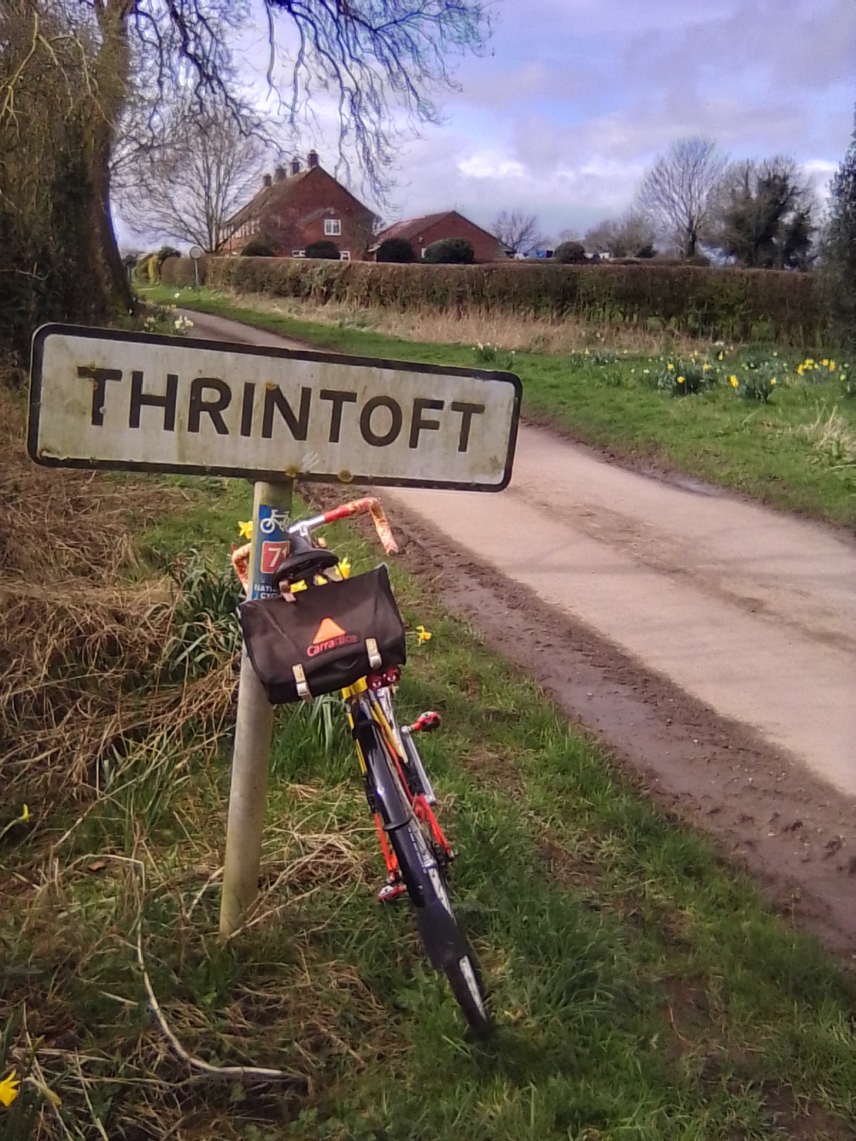
Emerge back onto a proper road at the outskirts of the hamlet of Thrintoft. Keep straight ahead (left) towards the houses. Pass through this hamlet to arrive at a T-junction just beyond the New Inn (permanently closed). Turn right, signed for Great Langton. Whilst I can’t promise you’ll be so lucky yourselves; I did see a low flying Kestrel here recently. After 3km you’ll come to a terrace of four farm cottages on your right. When you get level with the last of the four (No.1) watch out for the gorilla in the garden. He didn’t look very friendly, so I didn’t stop for a photo. You can’t miss him though.
Just beyond the cottages, meet a slightly wider road at an angle. Bear left here but avoid the private drive which leads to Langton Hall. The road surface can be quite rough for the next 2km. It also rises and falls, so watch out for and avoid potholes. There’s an interesting war memorial (1914-1918) in an isolated position at the top of a small rise. Directly opposite is a grass lane leading to the church of St. Wilfrid’s, Gt. Langton, (c.1140) which stands alone in the middle of a field. Grade II listed, it is not open to visitors, but the churchyard makes an interesting deviation on a fine day.
Arriving at Gt. Langton, turn left to join the B6271 once again, now in the direction of Scorton and Richmond. Stay on this road to arrive back at Kiplin Hall in just over 3km.
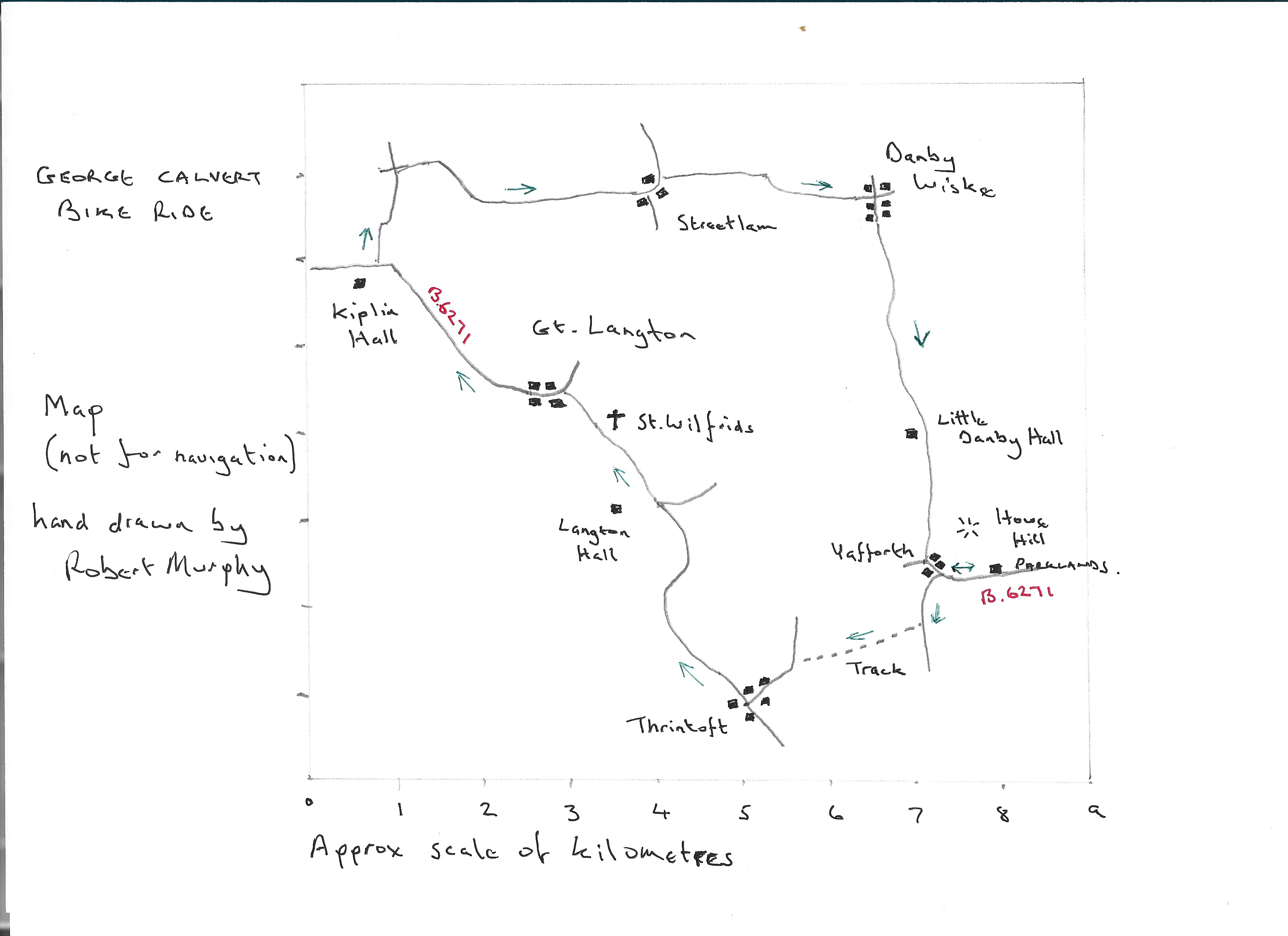
A handy map
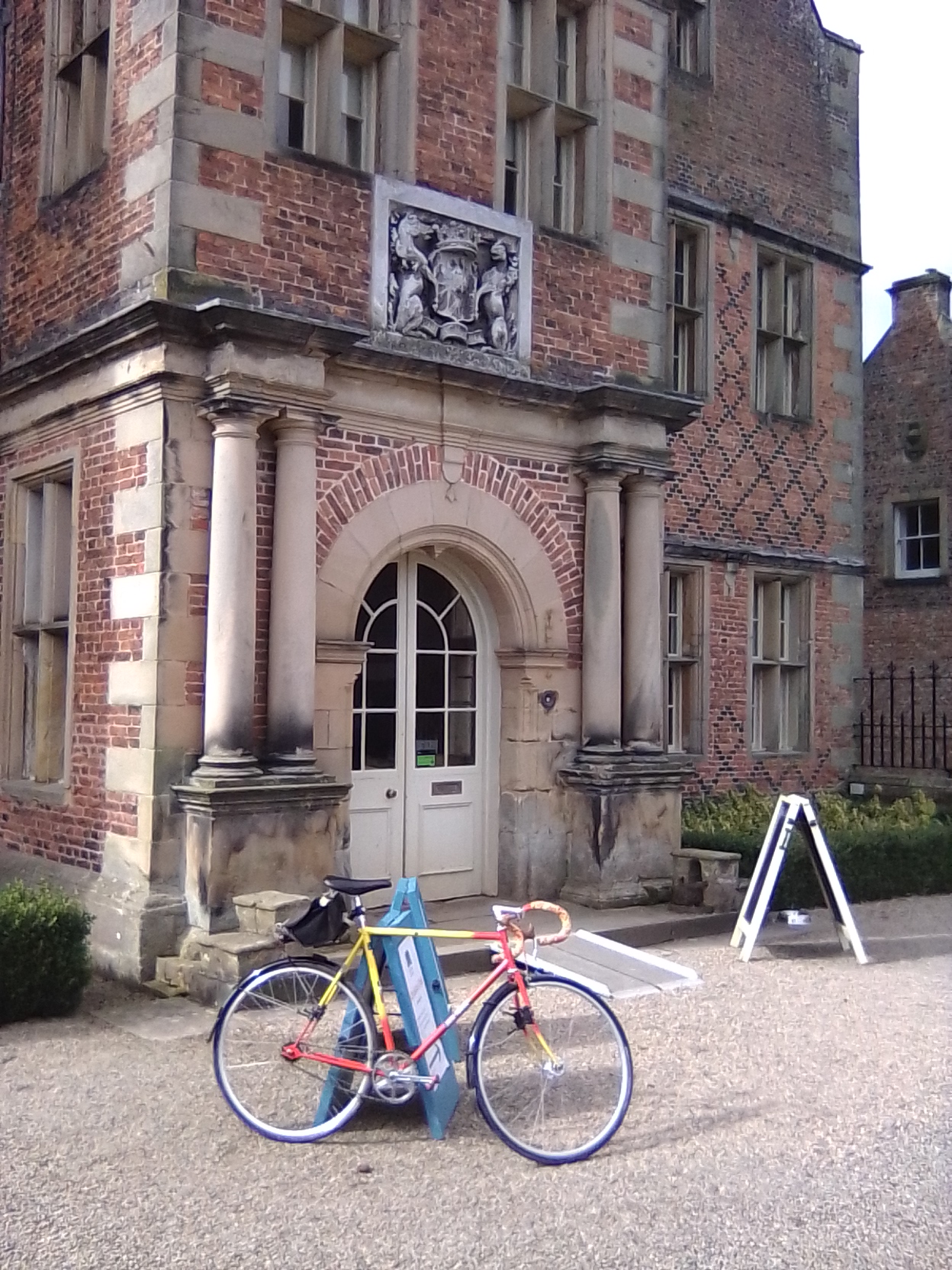
Enjoy!



